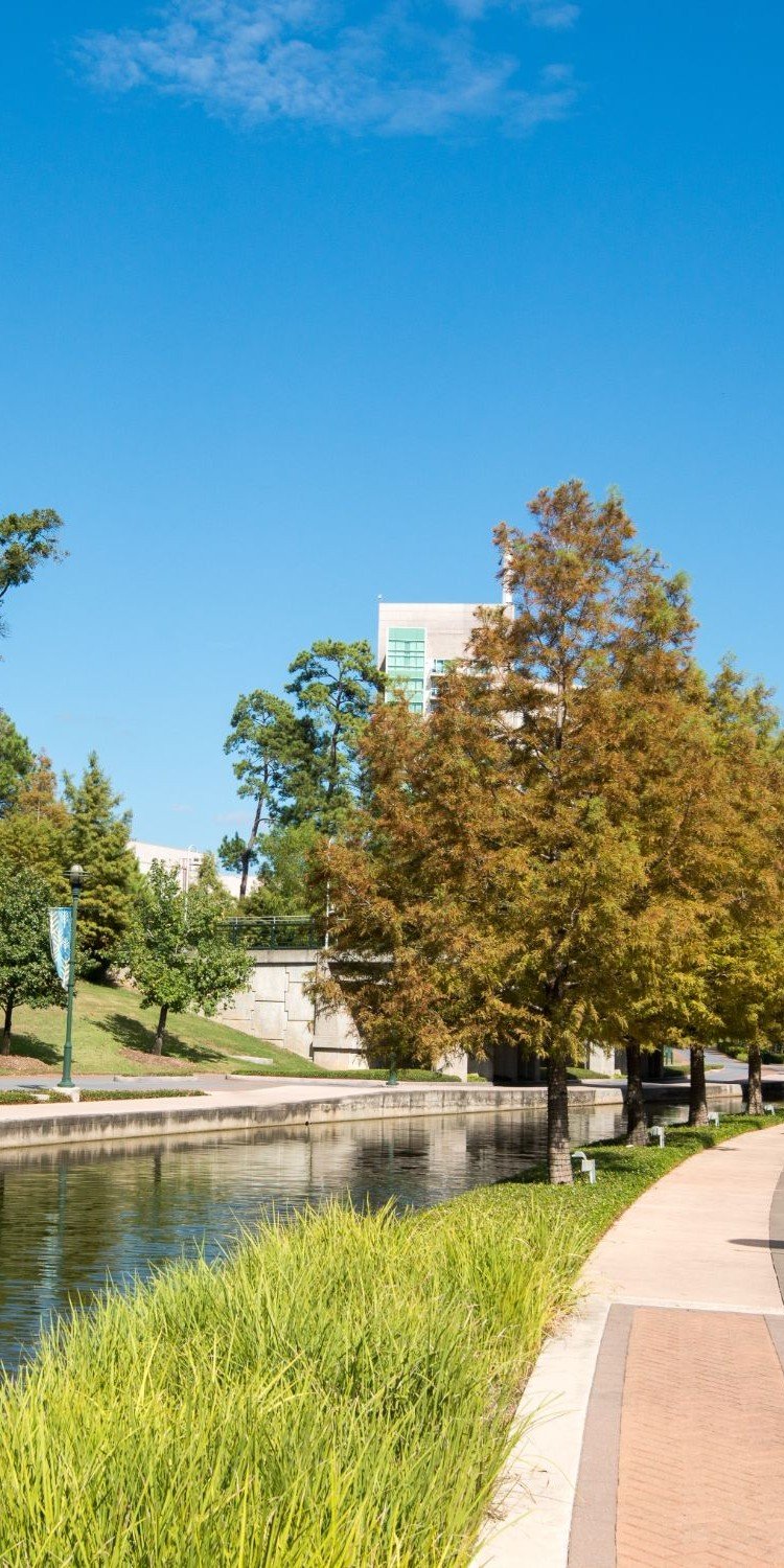
Every visitor guide to The Woodlands leads with the same line: over 220 miles of hike-and-bike pathways connecting parks, schools, and shopping centers, all threaded through a master-planned forest that residents can walk without ever touching a highway shoulder. It's true, but the network-wide mileage figure does not show the status of every planned connection.
For Harper's Landing, the connection remains planned, so if you live there, that mileage total doesn't include you yet. The village sits north of the rest of the network, cut off by SH 242 and I-45, and the pathway meant to close that gap has been "in progress" for years without a shovel in the ground. The pathway is scheduled to begin after TxDOT's widening of SH 242 is complete.
The SH 242 Shared Use Pathway Plan
The project is the SH 242 Shared Use Pathway, and the plan has actually grown as it's moved through design. When the Township Board approved engineering services in May 2025, staff described a 4.6-mile connector linking Harper's Landing to SH 242, I-45, and FM 1488. The most current tracking from the Bike The Woodlands Coalition now lists the route at 5.5 miles, running from FM 1488 on the west, along SH 242, to I-45, then north into Harper's Landing, tying into Alden Bridge. Total project cost sits at $8.3 million, covered by a combination of federal or state grant dollars and Township matching funds.
Chris Nunes, the Township's chief operating officer, has described the route as the piece that finally forges a northern spine linking a neighborhood that's spent years navigating by car to a network everyone else reaches on foot or by bike. The Township's own project documentation has cleared the harder regulatory hurdles already, including securing cooperation from more than 61 private property owners along the corridor. What it hasn't cleared is a start date.
The Reason It Hasn't Broken Ground
According to the Bike The Woodlands Coalition's project tracker, construction on the pathway is not started, and won't begin until roadway improvements on the same stretch of highway are finished first. That's not a bureaucratic technicality. It's a separate, state-run project: TxDOT's widening of SH 242 between FM 1488 and I-45, adding a travel lane in each direction and restriping the intersections, all within existing right-of-way.
That widening project has been running since October 2023, and progress updates show it was still underway in June 2026.
| Update Date | Percent Complete |
|---|---|
| October 2024 | 34% |
| December 2024 | 39% |
| June 2026 | 86% |
The completion window has slipped too. Earlier tracking put the finish line at the first quarter of 2026. A June 2026 update reported by Community Impact now points to the fourth quarter of the year, with contractor Posillico Civil Inc. still finishing lane and intersection work. The pathway can't start until that highway work is finished.
This corridor has a history of moving carefully. A 2022 TxDOT proposal to widen the same stretch of SH 242 to six lanes was scrapped after community pushback, and the current, narrower widening plan reflects that outcome. It's a reminder that in this particular stretch of road, nothing moves on the Township's calendar alone.
The bigger picture, though, is one of steady growth even when a single project stalls. As Kelly Dietrich, Howard Hughes' director of planning and development, said in an article on TheWoodlands.com:
"In my time working in The Woodlands, the pathway system has grown from 50 or so miles to over 220 miles, and continues to grow."
That growth just doesn't happen in straight lines, and it doesn't happen on a predictable schedule.
What Actually Opened While You Waited
While the SH 242 connector sat in design and permitting, other pieces of the network did move, and they're worth knowing if you haven't checked the Township's pathways map recently.
- Kuykendahl Road pathway, Lake Woodlands Drive to Research Forest Drive: 1.8 miles, funded jointly by the Township and Woodlands Land Development Company at roughly $2.4 million, completed in 2024.
- QR code wayfinding: 400 QR codes installed on pathway bollards across the existing network, linking directly to the pathways map, completed in February 2025 for about $50,000.
- Silver Level Bicycle Friendly Community designation: awarded to The Woodlands in February 2025, the highest tier held by any Texas community under the program.
None of these make headlines the way a new highway-adjacent pathway would, but together they explain why the mileage total keeps climbing even in years when the marquee project doesn't.
Where The Existing Miles Take You This Fall
One upcoming reason to use the network is Rock the Row, the Township's free concert series, held at the Hughes Landing Band Shell behind Restaurant Row, 1900 Hughes Landing Boulevard, right on Lake Woodlands and directly accessible via the Waterway pathways.
On Thursday, August 6, Foxy & The Hares closed out the summer series with a pop and rock set, the last show before the summer schedule break. The fall series picks back up October 13 through November 10, opening with the Amado J. Garcia Band. Shows run 7 to 9 p.m., sponsored by The Howard Hughes Corporation, with select restaurants along Restaurant Row running happy hour specials during the concerts. It's an easy bike-and-blanket night if you're coming from the Waterway side, and one more reminder that the value of 220 miles of pathway isn't the number itself. It's whether the miles you actually have get you somewhere worth going.
For residents near Harper's Landing watching the map for the missing connector, the pathway is scheduled after TxDOT's SH 242 widening is complete. In the meantime, the existing network provides access to Restaurant Row via the Waterway pathways.
If you're weighing a move within The Woodlands or trying to figure out how a specific street connects to the trail system before you commit to a neighborhood, that's exactly the kind of hyperlocal detail Beatriz Manchado and her team track daily. Reach out when you're ready to talk through what a given address actually connects to, on the map and on foot.